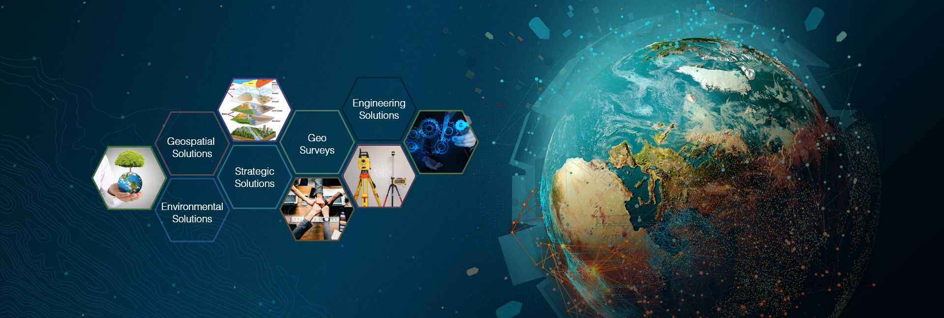
Our Services

About Us
Sree Karthikeya Consultancy Services is committed to finding the best solutions for the clients requirements while anticipating future needs, in a world of a rapidly explanding range of geospatial tools.
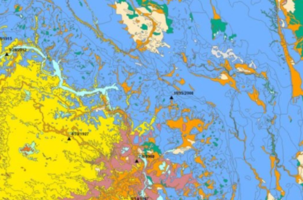
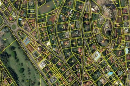
Geographic Information Systems are designed to caputre and analyze, geospatial data. Our services allow users to create interactive queries in order to analyze spatial information and display it in myriad ways to enhance location intelligence. Whether you are needing geospatial information for engineering, planning, management, transport/logistics, insurance, telecommunications, or other business, Sree Karthikeya Consultancy Services has an array of proeducts.
- Data analysis
- Topological Modeling
- Geometric Networks
- Hydrological Modeling
- Cartographic Modeling
- Map Overlay
- Geostatistics
- Address Geocoding
- Reverse Geocoding
- Multi-Criteria Decision Analysis
- Data Output and Cartography
OUR SPECIALISATION

We specialize in understanding our client's requirements for improving the efficiency of the work assigned utilizing technical experts and resources and finally delivering comprehensive geospatial solutions.
- Field surveys using handheld GPS, DGPS, etc. and survey data conversion and integration.
- Geospatial database development - creating, managing and analyzing the database
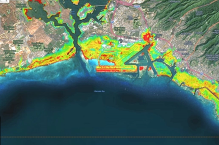
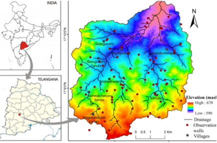
- GIS based mapping services for environmental assessments, water resources assessment and management, vulnerability mapping using multi variant vanalysis, etc.
- Developing specialized GIS based software such as asset management, road maintenance and transportation planning including financial analysis for municipal and other government agencies and industrial clients.
- Water supply systems, sewer systems, fire hydrants, gas lines, oil lines, telephone lines, electrical lines and street lighting.
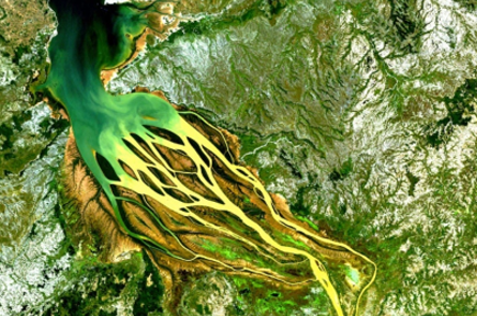
- Satellite image integration and processing.
Surveys
- Forest Clearance ( CA) & Diversion Lands)
- DGPS
- Total Sanctions
- DPR & DCP
GIS
- Spatial database development - creating, managing and analyzing the database.
- Mapping - environmental assessments, water resources assessment and management, vulnerability mapping using multi variant
Remote Sensing
- Satellite Image interpretation and processing
- Mapping
Our Clients